Langley SATCORPS group support for The ARM - COLD-AIR OUTBREAKS IN THE MARINE BOUNDARY LAYER EXPERIMENT (COMBLE) Field Experiment
Langley SATCORPS group support for The ARM - COLD-AIR OUTBREAKS IN THE MARINE BOUNDARY LAYER EXPERIMENT (COMBLE) Field Experiment
Langley SATCORPS group support for The ARM - COLD-AIR OUTBREAKS IN THE MARINE BOUNDARY LAYER EXPERIMENT (COMBLE) Field Experiment
NASA Langley support for ARM-COMBLE
MET-11 Image Processed for ARM-COMBLE Field Experiment
Click image to see latest products.

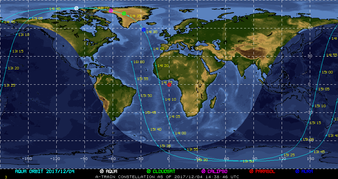
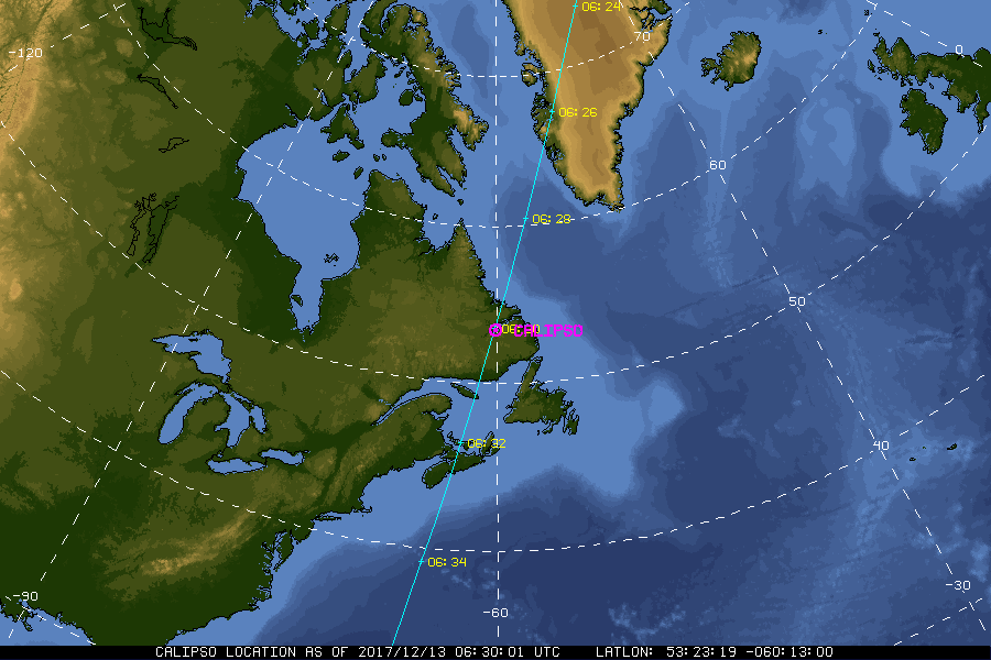
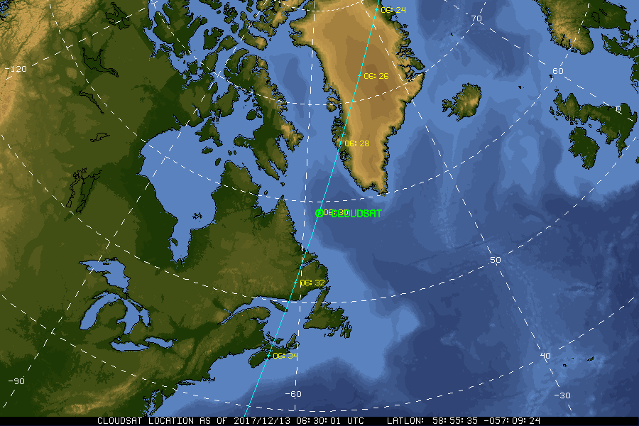
| Current Location of A-Train Satellites (updated every 30 sec) | ||
|
|
|
| A-Train | Calipso | CloudSat |
|
|
NASA Fact
On January 31, 1958, Explorer 1 became the first artificial satellite launched into space by the United States. Onboard was a cosmic ray detector designed to measure the radiation environment in Earth orbit.
- + Freedom of Information Act
- + Budgets, Strategic Plans and Accountability Reports
- + The President's Management Agenda
- + Privacy Policy and Important Notices
- + Inspector General Hotline
- + Equal Employment Opportunity Data Posted Pursuant to the No Fear Act
- + Information-Dissemination Priorities and Inventories
- + USA.gov
- + ExpectMore.gov
- NASA Official: William Smith
- Website Curator: Louis Nguyen
- + Contact Langley
- + Contact Team Members