NASA Langley support for the ObseRvations of Aerosols above CLouds and their intEractionS (ORACLES) Field Experiment
NASA Langley support for the ObseRvations of Aerosols above CLouds and their intEractionS (ORACLES) Field Experiment
NASA Langley support for the ObseRvations of Aerosols above CLouds and their intEractionS (ORACLES) Field Experiment
Cloud Products and Imagery for ORACLES 2018:
Latest MSG Product Image Processed for ARM-ORACLES Field Experiment (Small Domain)
Click image to see latest products.

Latest MSG Color-IR Image for ARM-ORACLES Field Experiment (Large Domain)
Click image to open up satellite viewer.

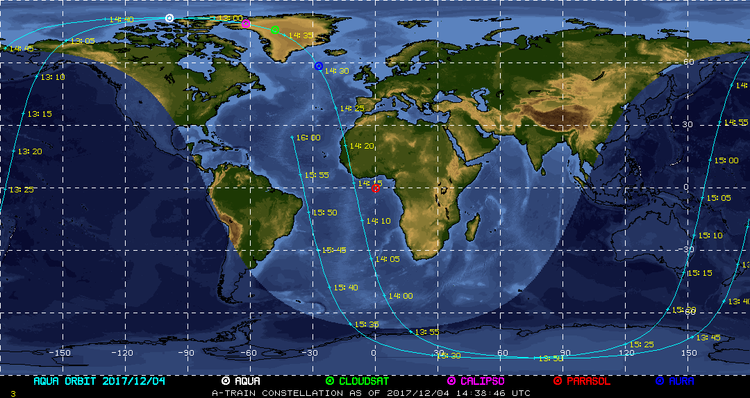
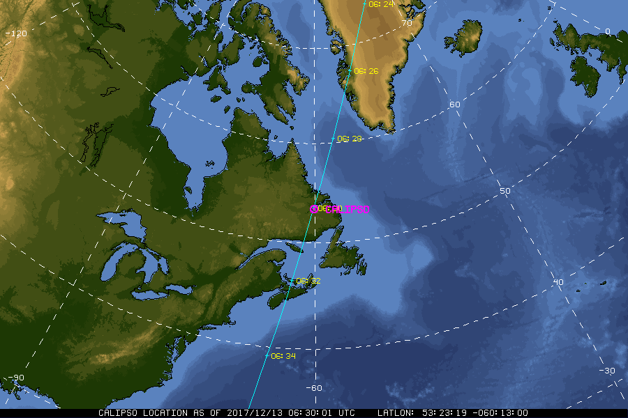
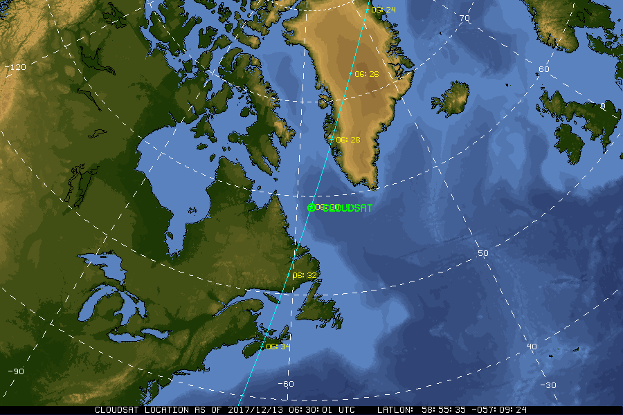
| Current Location of A-Train Satellites (updated every 30 sec) | ||
|
|
|
| A-Train | Calipso | CloudSat |
|
|
NASA Fact
Cumulonimbus clouds, or rain producing clouds, may stretch from their base near the Earth's surface to an altitude of 10 kilometers (33,000 feet) or higher.
- + Freedom of Information Act
- + Budgets, Strategic Plans and Accountability Reports
- + The President's Management Agenda
- + Privacy Policy and Important Notices
- + Inspector General Hotline
- + Equal Employment Opportunity Data Posted Pursuant to the No Fear Act
- + Information-Dissemination Priorities and Inventories
- + USA.gov
- + ExpectMore.gov
- NASA Official: William Smith
- Website Curator: Louis Nguyen
- + Contact Langley
- + Contact Team Members