Langley support for THE HALO Mission on Mid Latitude Cirrus and Contrail Cirrus (ML-CIRRUS) Experiment
Langley support for THE HALO Mission on Mid Latitude Cirrus and Contrail Cirrus (ML-CIRRUS) Experiment
Langley support for THE HALO Mission on Mid Latitude Cirrus and Contrail Cirrus (ML-CIRRUS) Experiment
Welcome to the home page for ML-CIRRUS hosted at NASA Langley.
Ground Track (nadir) Predictions
Aqua Today Tomorrow +2 +3 +4
Terra Today Tomorrow +2 +3 +4
Modis Today Tomorrow +2 +3 +4

Aqua Ground Track Prediction
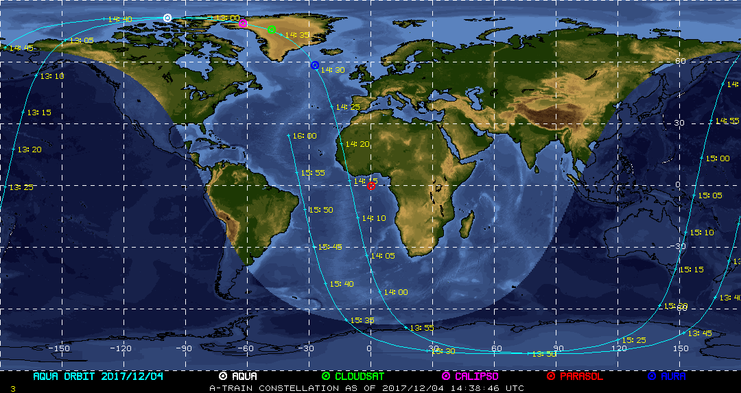
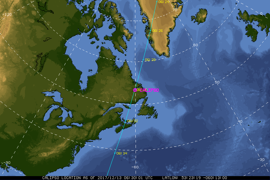
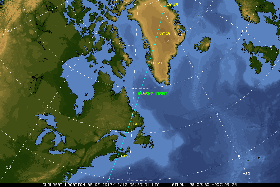
| Current Location of A-Train Satellites (updated every 30 sec) | ||
|
|
|
| A-Train | Calipso | CloudSat |
|
|
NASA Fact
The term "aeronautics" originated in France, and was derived from the Greek words for "air" and "to sail."
- + Freedom of Information Act
- + Budgets, Strategic Plans and Accountability Reports
- + The President's Management Agenda
- + Privacy Policy and Important Notices
- + Inspector General Hotline
- + Equal Employment Opportunity Data Posted Pursuant to the No Fear Act
- + Information-Dissemination Priorities and Inventories
- + USA.gov
- + ExpectMore.gov
- NASA Official: William Smith
- Website Curator: Louis Nguyen
- + Contact Langley
- + Contact Team Members